Tuesday, January 31, 2023

Week 2 Plate Boundaries of Iceland


It is important to understand plate boundaries in order to understand where there may be occurrences of natural hazards such as earthquakes and volcanoes.  

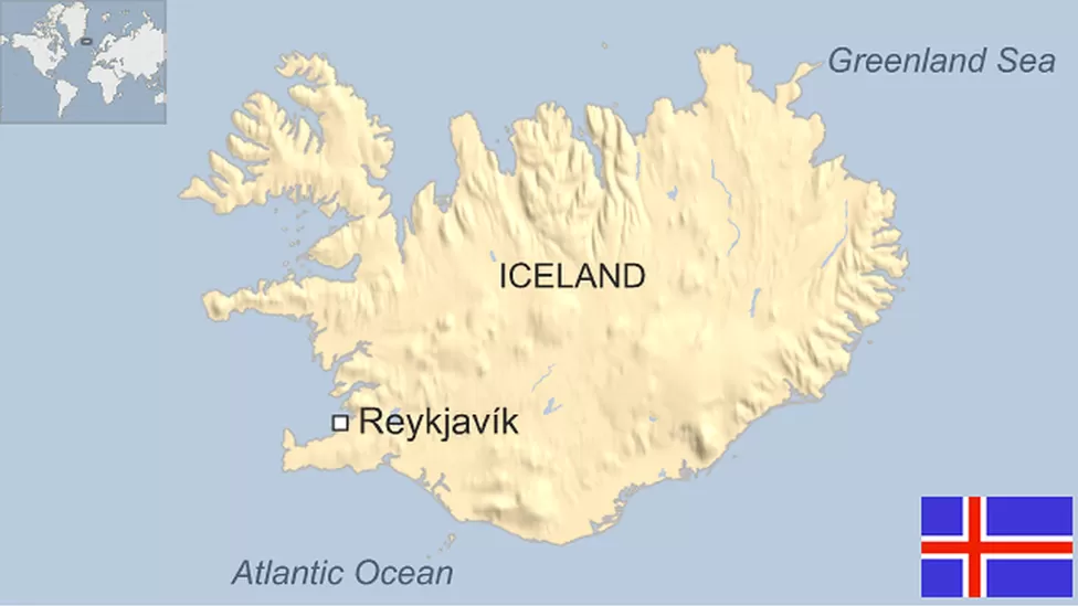
Iceland is situated on the Eurasian and North American Tectonic Plates, two divergent plates. Divergent plates move away from one another. Due to this,  Iceland has many earthquakes.  (see map of most recent earthquake activity below)


Along boundaries such as this, earthquakes are very common and magma rises from the earth’s core forming more land.  In fact the Eurasian and North American Plates pull this country apart by a few centimeters every year. 


 Iceland is pretty special in the world of plate tectonics, as it is one of the only places on Earth that you can see these two tectonic plates and the Mid-Atlantic Ridge above ground. (see photo below)


It is even possible to swim between two continents as is pictured below. 


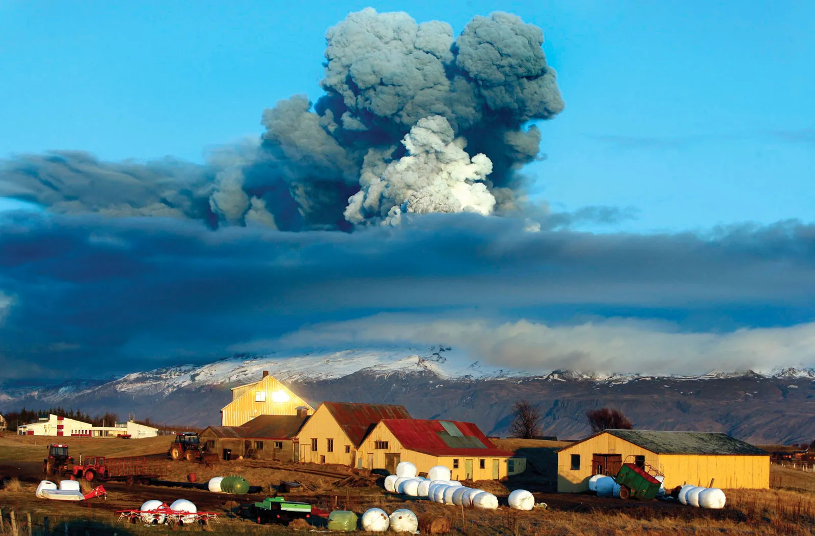
Earthquakes are not the only natural hazards caused by these two plates.  Volcanic eruptions such as the Eldfell eruption in 1973, the 1783 eruption of Laki, and the 2010 eruption of Eyjafjallajokull (see photo below) were all a result of the North American and Eurasian Plates moving apart. 


References:


https://www.bluecarrental.is/


www.icelandontheweb.com


https://en.vedur.is/


https://en.wikipedia.org/wiki/Eurasian_Plate


https://www.britannica.com/place/Eyjafjallajokull-volcano


Wednesday, January 25, 2023

Week One Post


     Iceland is  a European island country  located approximately halfway between Greenland and Norway in the North Atlantic Ocean. It is commonly referred to as the “land of fire and ice” due to the extremes of  its having both volcanic and glacial terrains. In terms of natural disasters this country is both seismically and volcanically active and has localized risks of storms,  flooding, landslides, avalanches, and tsunamis. Iceland consists of eight regions.


Map and flag of Iceland:                          


Regions of Iceland:


     According to Britannica, this country spans an area of 103,000 square kilometers and the population is currently reported as 380,500 people. It is the sixteenth largest country in Europe and, in terms of area, it is ranked as the 108th worldwide.   It is one of the most sparsely populated countries on Earth.  The climate of Iceland is maritime subarctic and the geology is extremely diverse as is evidenced by the presence of both lava and ice. The ethnicity of this country is notably homogeneous with 93% being Icelandic,  of Northern European descent.  The official language of the country is Icelandic but approximately 98% of the population also speaks English, as it is taught as a second language in schools.   The capital of Iceland, Reykjavik (pronounced REK yuh vik),  is also the largest and  most populous city in the country. Iceland’s government is a parliamentary democracy headed by  a prime minister who works with a cabinet, forming the executive branch of this country.  Although the country has a president, they largely serve as a ceremonial head of state and diplomat. 


A natural hazard is a natural process and the events themselves are only a hazard due to human habitation of the land.  A natural disaster occurs over a limited span of time in a defined area wherein 10 or more people are killed, 100 or more affected, and a state of emergency is declared.  A catastrophe is a huge disaster that requires significant amounts of money and time to recover from.  


References: 


https://guidetoiceland.is/


https://worldpopulationreview.com/countries/iceland/capital


https://en.wikipedia.org/wiki/Iceland


https://www.bbc.com/news/world-europe-17383525


https://www.britannica.com/facts/Iceland


Final Hazards Iceland: Volcanoes and Extreme Weather/Storms

            Iceland is a land of many extremes and the people who inhabit this island nation must prepare for a myriad of natural hazards, i...